
- HONGHU-03 · alt 477 km
- STARLINK-38156 · alt 344 km
- STARLINK-38305 · alt 386 km
- STARLINK-38237 · alt 344 km
- STARLINK-38304 · alt 380 km
- STARLINK-38265 · alt 391 km
- STARLINK-38296 · alt 384 km
- STARLINK-38307 · alt 386 km
- STARLINK-38302 · alt 393 km
- STARLINK-38284 · alt 384 km
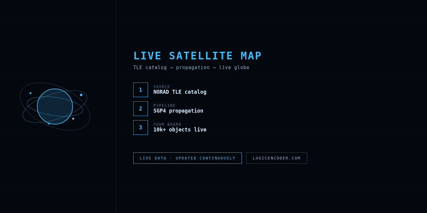
There are more than ten thousand tracked objects orbiting Earth right now — Starlink trains, the ISS, weather satellites, debris from decades of launches. Most people never see them because the data lives in TLE catalogs and NORAD feeds, not in anything you can look at. This map fixes that: every tracked object, drawn at its real position, updating continuously.
What does the live satellite map actually show?
Every object on the map is computed from its current two-line element set — the same orbital elements that tracking stations and satellite operators use. Positions are propagated forward in real time, so what you see is where each satellite is now, not where it was at the last pass over a ground station. The color coding separates the main groups: operational satellites, the big LEO constellations, stations, and tracked debris.
Why does watching satellites move in real time matter?
Beyond the obvious “that is genuinely cool” factor — pass prediction. If you have ever wanted to spot the ISS or a Starlink train with your own eyes, the question is always the same: when does something bright cross my sky? The map answers it visually. You watch a satellite approach your longitude, check its trajectory, and step outside at the right minute instead of trusting a table of times for a city that is not yours.
How is this different from a static satellite list?
Catalogs tell you what is up there. A live map tells you where it is. The difference matters for anything time-sensitive: imaging windows, amateur radio contacts through LEO repeaters, predicting when a constellation will cross a telescope’s field of view. Altitude and velocity come along for free — click an object and its orbital parameters are right there.
Does it work on a phone?
Yes — the map is the same on mobile. It is the easiest way to answer “what is that string of lights moving across the sky” while you are still standing outside looking at it.
Open Live Satellite Map
→ logicencoder.com/satellite-map/
All Logic Encoder tools at the applications page.